Samaria Gorge & Other Stuff


I have recently been sorting through some old photos and, as a result, reliving some past vacations. I thought I should share with you, an insight into our visit to the island of Crete and, in particular, the Samaria Gorge.

crete_samaria-3
Samaria Gorge

Crete

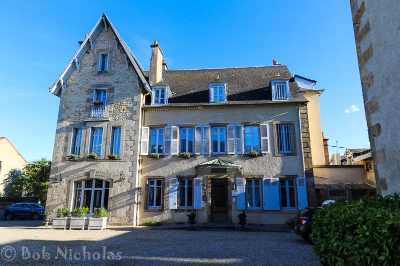
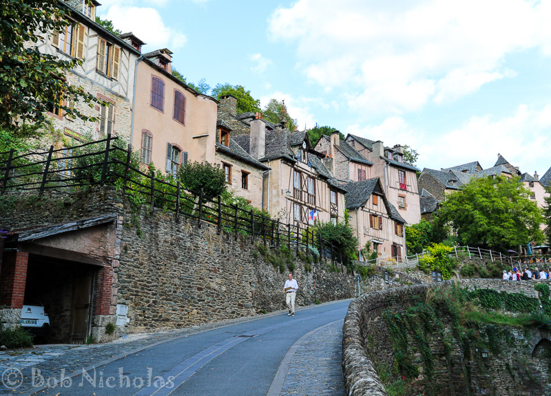
So, a few years ago, my wife Gerry was made redundant. We decided to splurge her redundancy money on a holiday and settled on a trip to Crete. Our chosen resort was Malia. It seems Malia has (had?) a bit of a reputation. To be fair, our travel rep did warn us that Malia could be noisy. She also said that due to us going outside of the full holiday season it shouldn’t be too bad.

Indeed, the year after our visit, there was a television documentary about the place. Thankfully our planned trip was just out of season, so we missed the drunken teenage bodies in the gutters and flower beds.

In fact the town was relatively quiet. It is not really our kind of place, what with the main street containing mainly bars and clubs. The restaurants offering “traditional English breakfast”, “traditional Sunday Roast”, well, you get the picture. Finding traditional local cuisine isn’t that difficult if you want to avoid the “Brits Abroad” fare.

Samaria Gorge

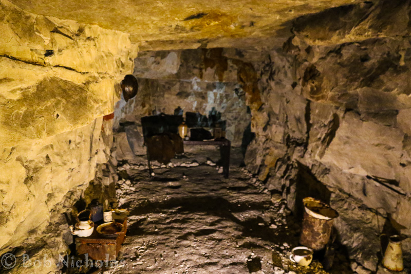
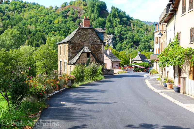
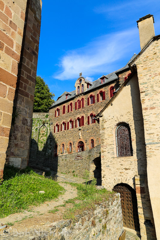
Probably the place that left the lasting impression on us was the Samaria Gorge. Not necessarily for the right reasons.

From Wikipedia …….

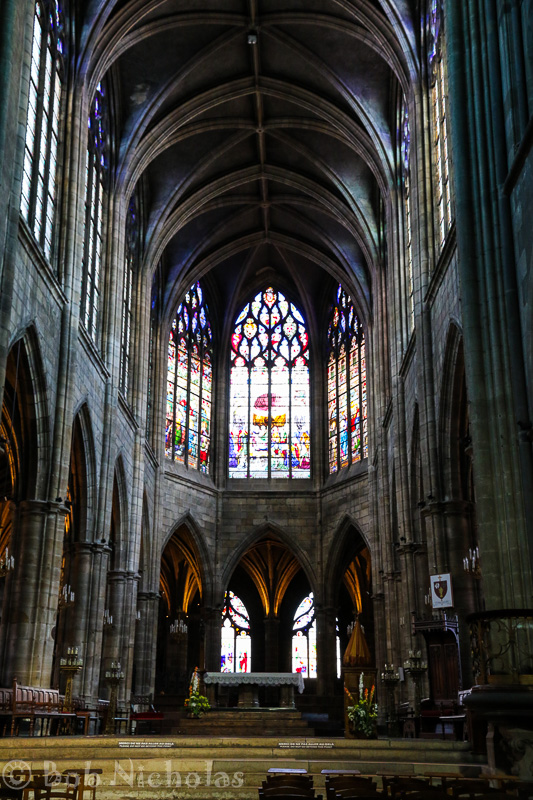
The Samariá Gorge (Greek: Φαράγγι Σαμαριάς or just Φάραγγας) is a National Park of Greece since 1962 on the island of Crete – a major tourist attraction of the island – and a World’s Biosphere Reserve.

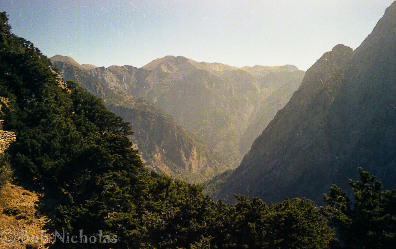
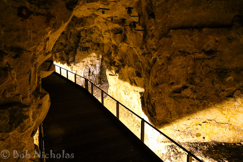
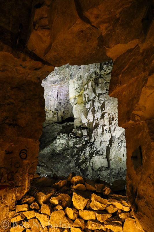
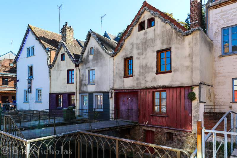
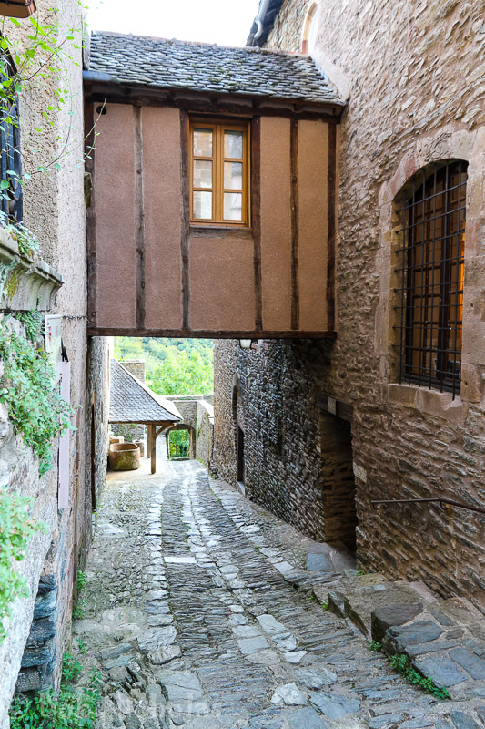
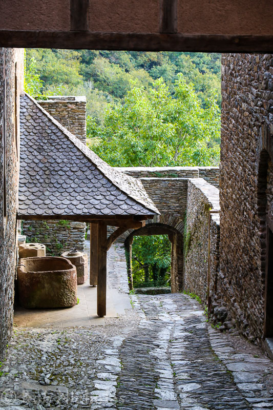
The gorge is in southwest Crete in the regional unit of Chania. It was created by a small river running between the White Mountains (Lefká Óri) and Mt. Volakias. There are a number of other gorges in the White Mountains. While some say that the gorge is 18 km long, this distance refers to the distance between the settlement of Omalos on the northern side of the plateau and the village of Agia Roumeli. In fact, the gorge is 16 km long, starting at an altitude of 1,250 m at the northern entrance, and ending at the shores of the Libyan Sea in Agia Roumeli. The walk through Samaria National Park is 13 km long, but one has to walk another three kilometers to Agia Roumeli from the park exit, making the hike 16 km long. The most famous part of the gorge is the stretch known as the Gates (or, albeit incorrectly, as “Iron Gates”), where the sides of the gorge close in to a width of only four meters and soar up to a height of almost 300 meters (980 feet).

So, we paid our dues and signed up for the trip…

Based, as we were, at Malia our journey started at around 05:00 in the morning. Bleary eyed, in the darkness, we clambered aboard the coach. Part way along our route we stopped to grab breakfast at a roadside cafe. As dawn was breaking, the bus appeared to be starting to list to one side and it wasn’t long before we pulled into a lay-by. The driver crawled under the coach and back out again with much scratching of his head. It soon became apparent that our coach wasn’t going any further. Well, not soon anyway.

crete_samaria-11
Broken Down

After a period of time we were informed that we were to join other coaches that were en route to the Samaria Gorge. What we weren’t informed was that we would be standing, or “strap-hanging” as our designated coaches wound their way up the mountain sides. Gerry and I found ourselves on a coach full of German tourists. They were friendly enough but due to language difficulties the conversation was understandably stilted.

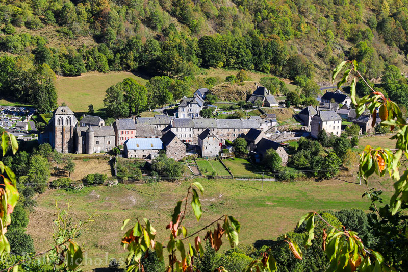
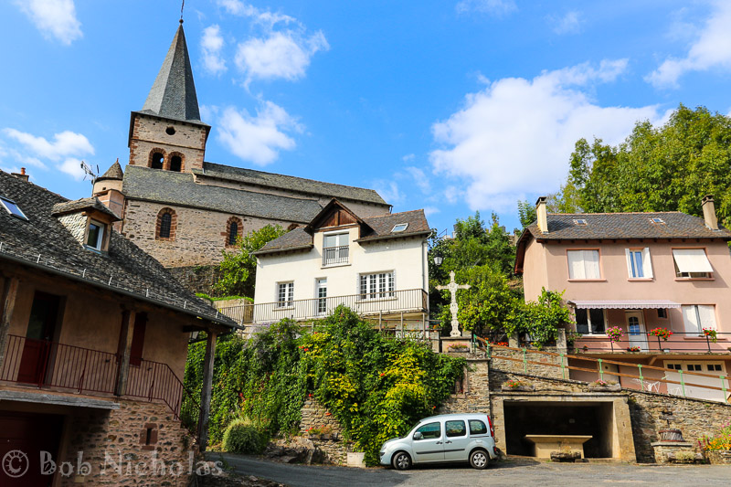
Part way up to the Omalos Plateau, we were ejected from our coaches, at the village of Fournes.

crete_samaria-2
Waiting at Fournes

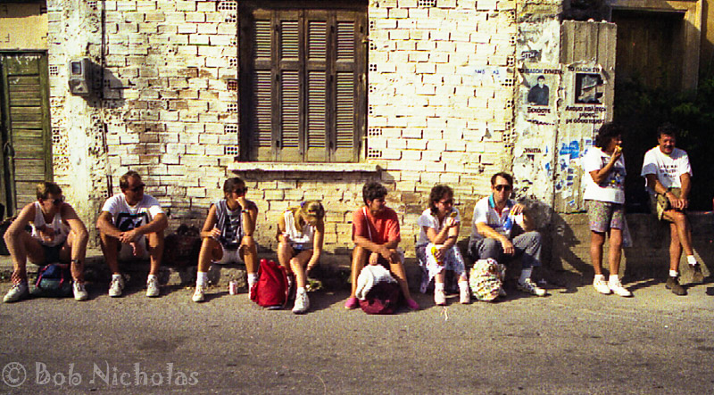
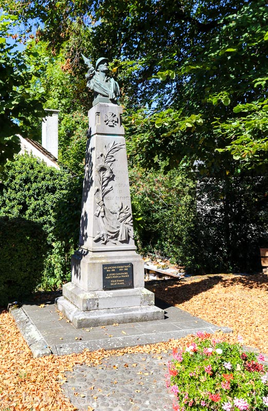
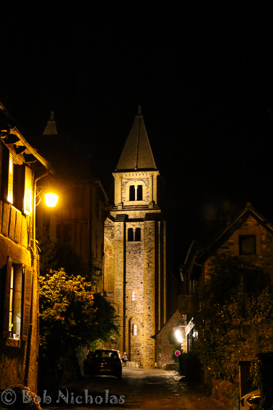
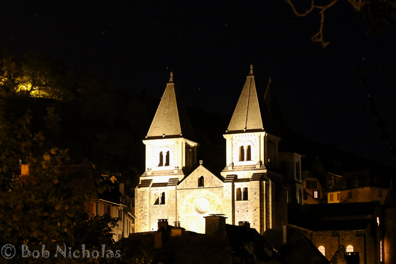
Here we sat, opposite a large Greek-Orthodox church.

crete_samaria-12
Greek-Orthadox Church – Fournes

We were informed that the coach company had been in touch by radio, that a new coach was on its way and would be picking us up, to continue our journey to the top of the gorge.

I think in all we were waiting at the roadside for between forty-five minutes and an hour. The clocks on the church show different times. On the left it says about 09:25 (or 21:25) while the one on the right shows 05:40 (or 17:40). What I do recall is that a coach did arrive and it carried us up to the top of the gorge. We arrived at around 11:00.

The time is important. At the time we hadn’t appreciated the significance. Remember, we set out from Malia around 05:00 and had only had a roadside snack.

What you don’t know is that this trip was sold to us as a gentle days walk. Descend into the gorge. Walk down through the gorge. Arrive at the lower end where we could go for a swim, laze on the beach and have a relaxing meal in a tavern. All this before enjoying the ferry ride along the coast to Chora Sfakion, where we would board our coach for the return journey back to Malia.

The walk takes between five and eight hours dependent on your pace and ability.

crete_samaria-6
Gerry – Minutes Before Our Descent

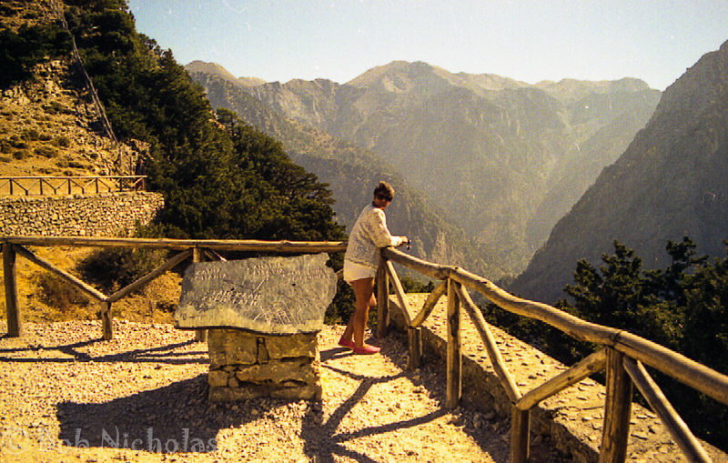
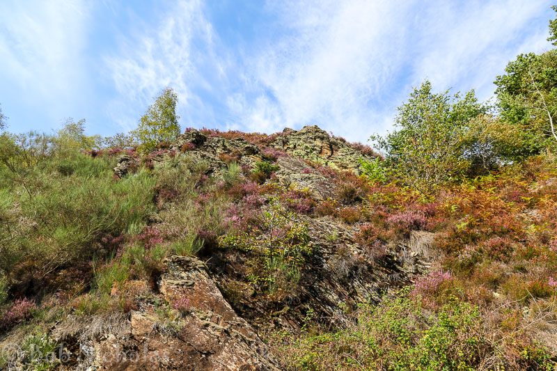
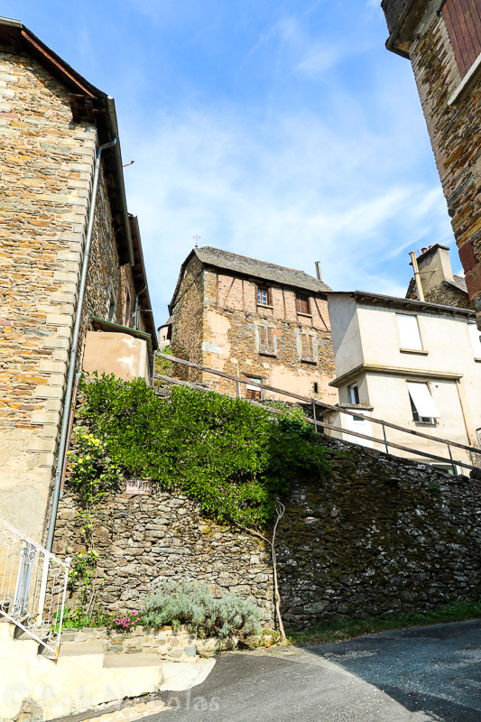
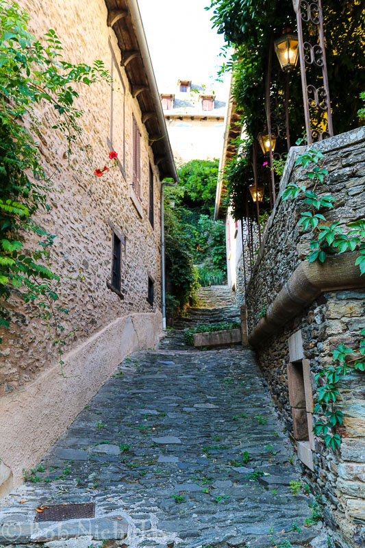
And so, like lambs to the slaughter, we headed over the brink to begin the grand descent. At the start there were quite a few steps cut into the cliff face and it was quite steep. On either sides, above and below, there are cyprus and pine trees.

crete_samaria-5
Head of Samaria Gorge

Once down at the foot of the gorge the ground varies from smooth footpaths to boulder strewn dry river beds.

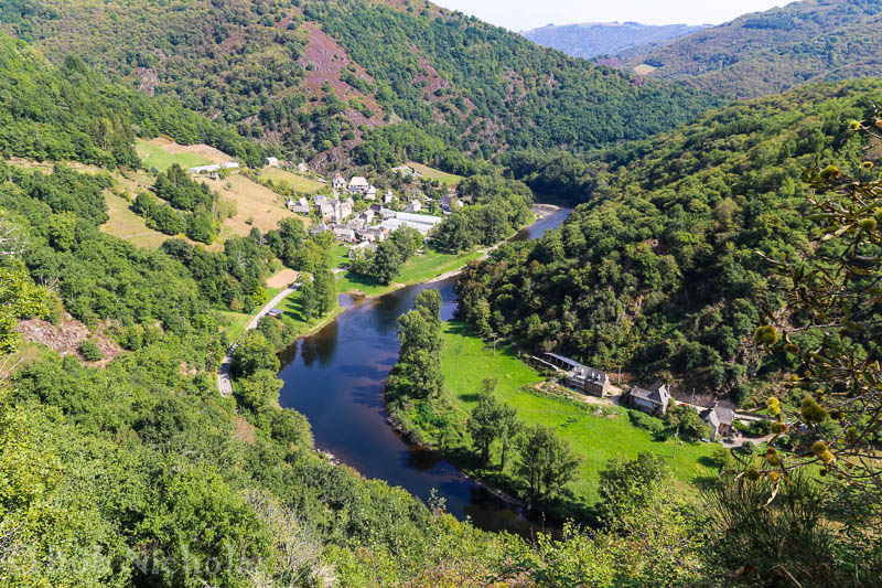
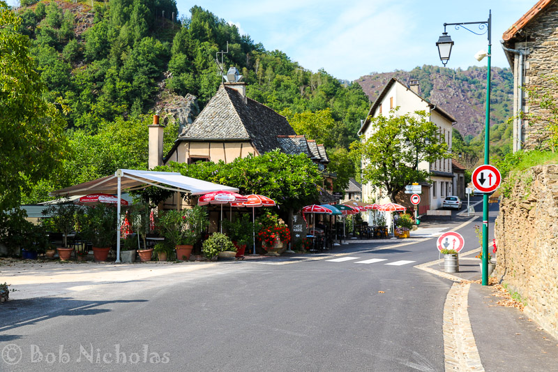
At about the half-way point we stopped for our lunch in the village of Samaria. Here we were also able top up our bottle with water from the spring. Lunch, by the way, was a couple of cheese rolls that we had made for ourselves back at the hotel. Not sure of the time but it would have been way past midday.

crete_samaria-10
Samaria Gorge, Crete

From here on down the ground got a bit tougher. Gerry was wearing espadrills and I was wearing deck shoes. No ankle support and no real shock absorption or padding for the soles of the feet. We carried on towards the exit, not really knowing how far we had to go, or even how long.  We were being lured ever onward by the thought of the relaxing meal and cold drinks.

Our feet and our legs were complaining as we, at last, reached the point convergence of the gorge walls. This place is sometimes referred to as the “Iron Gates” as the walls close to within four meters and climb to a height of almost 300 meters (980 feet). We began to think that we were approaching the end of our torturous trail.

The rough ground gave way to a tarmac path and we exited thru the man-made gates demarcating the boundary of the park. What we didn’t realise was that there was still a further thirty minutes or so of walking before we had arrived.

However, there was no time for swimming, relaxing or eating. There was a loud blast of a ships horn, indicating that the ferry was already heading into shore. We just had time to buy our tickets and to grab a beer before climbing aboard the ferry.

crete_samaria-14
View of Agia Roumeli, Crete

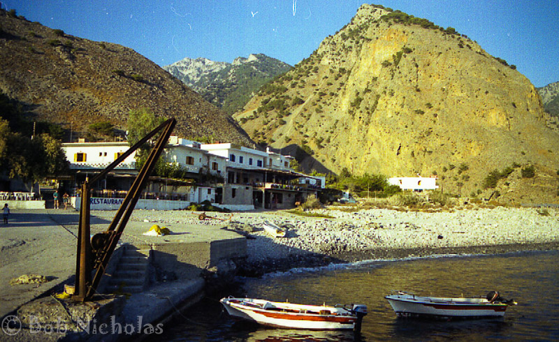
You can see in the following picture that Gerry did not even have time to cool her feet off in the sea. Her legs still have the white dust from our trek.

crete_samaria-13
Gerry, Looking Dejected – On the ferry after walking the Samaria Gorge

It should be noted that the ferry is not designed for passengers. It is very similar to those used to ferry vehicles between Portsmouth and the Isle of Wight. Basically a roll on, roll off ferry,  with ramps at each end. No comfy seats.

By the time we arrived at Chora Sfakion and found our coach the light was beginning to fade. We joined a long convoy of coaches snaking their way up the mountainside. Riding our coach, experiencing endless hairpin bends in the dark, was not a very relaxing journey. The further on into the mountains we travelled, the more I became aware that our coach was not one hundred percent. Eventually, as we ground our way out of a small village, the beast came to a complete standstill. Imagine the sinking feeling knowing your coach has just broken down, especially when your coach at the beginning of the day had also broken down.

In this instance the driver not only clambered underneath but also took up the floor boards inside the coach. With much banging and muttering all was declared well. Floor boards replaced and the coach was back underway.

We did, eventually, arrive back in Malia, at around 23:30. We were tired, hungry and thirsty.

Gerry and I headed over to our hotel where after a quick cup of tea we crashed into bed.

Other Stuff

This post probably makes it seem like all we did was the gorge. And, of course, that isn’t true. We did all the usual touristy things too.

We did a coach trip to Knossos and the associated museum in Heraklion.

We did a boat trip from Agios Nikolaos to Spinalonga.

We hired a car, visited Vai beach which features the largest natural palm forest in Europe. Is called the “Bounty Beach” as it is said that this is where the famous Bounty bar adverts were filmed. Needless to say it was quite disappointing, commercialised and crowded. There are counter claims as to where the filming actually took place.

While we had the car we also toured the Lasithi Plateau, a trip which gave spectacular views out over the island and, as I recall, gave us the cheapest meal of the holiday. A greek salad, a bowl of some kind of meat stew and a beer. All in for around £5 for two.

Sorry about the photo quality. I can’t remember what camera I had at the time. Certainly it was pre-digital and may even have been in my pre-SLR days.


Vacances en France – 2018 – Carrière Wellington


On our last day stopping with the rellies, we headed out to Arras. On previous visits we had only ever dipped our toes into what this town has to offer and we had passed by on many occasions.

One thing we did know was that Arras is sitting on a maze of tunnels, and therefore felt it was way past time for us to find out more.

So of we went to Carrière Wellington.

Here is what Wikipedia has to say…


The Carrière Wellington is a museum in Arras, northern France. It is named after a former underground quarry which was part of a network of tunnels used by forces of the British Empire and Commonwealth during the First World War. Opened in March 2008, the museum commemorates the soldiers who built the tunnels and fought in the Battle of Arras in 1917.

500 miners from the New Zealand Tunnelling Company, including Māori and Pacific Islanders, recruited from the gold and coal mining districts of the country, were brought in to dig 20 kilometres (12 mi) of tunnels. They worked alongside Royal Engineer tunnelling companies, made up by now of British coal miners and expert tunnellers who had built the London Underground. Many of them were “Bantams“, soldiers of below average height who had been rejected from regular units because they did not meet the height requirements; others had been initially rejected as too old, but their specialist mining experience made them essential for the tunnelling operation.

Thousands of soldiers were billeted in the tunnels for eight days prior to the start of the Arras offensive on 9 April 1917. At 05:30 that morning, exits were dynamited to enable the troops to storm the German trenches. The Germans were taken by surprise and were pushed back 11 km (6.8 mi). This counted as an extraordinary success by the standards of the time. However, the offensive soon bogged down and it was eventually called off after casualties reached 4,000 a day.


From <https://en.wikipedia.org/wiki/Carri%C3%A8re_Wellington>
Ready for the tour

Hopefully, the following pictures, will give a sense of the conditions under which the men of the New Zealand Tunelling Company worked and also the cramped space that thousands of men endured prior to beginning the attack.

The following image shows just one of the many stairways, to be used by the men as they exited the tunnels. They would have climbed in single file, popping out above ground to confront the German soldiers. I wonder if the first man up was a volunteer ?

With all the men inhabiting the tunnels a fair amount of drinking water would be required. They had their own water supply. The following image shows a water trough to the left. The trough is full of water, showing just how clean the water was. Center of the image is a mirror whose reflection shows the well from which the water comes.

Also from Wikipedia …..


The Carrière Wellington museum consists of a visitor centre displaying historic artifacts and presenting the historical context of the Battle of Arras, including the work of the tunnelers and the military strategy that underlay the tunnels’ construction. It was opened to the public on 1 March 2008.
The tunnels are accessed via a lift shaft that takes visitors approximately 22 m (70 ft) under the ground inside the galleries of the underground quarry. The tour consists of both guided and audio-guided tours on a planned path accessible for wheelchairs. The visitors discover the development of the strategy of the Battle of Arras, and also the daily life of the tunnelers of New-Zealand and the soldiers of the British Expeditionary Forces sent in these tunnels to prepare this battle.


The site is also a memorial dedicated to the battle of Arras, with a memorial wall remembering all the regiments involved in the battle of Arras. Since the Hundred Years of the battle in 2017, a second memorial wall is dedicated to portraits of NZ Tunnelers, and a statue was installed in the park for the remembrance of these tunnelers. Each year, a ceremony is organised at 6.30 am on April 9th.

An interesting and enlightening day. I am ever amazed at the amount of effort, the soldiers of the First World War, expended for so little gain.

As this was to be our last day, before heading back to good ol’ Blighty, we all went out for a family meal. And so, after a good meal at Beers & Co., it was back to Achiete and bag packing.

Vacances en France – 2018 – Lochnagar, Australian National Memorial and Amiens


Having travelled up from Troyes to Achiete le Grand, we settled in to spend time with Gerry’s brother and family who live in France.

Living as they do in the middle of the Somme department, they are surrounded by many memorials and graveyards dedicated to the soldiers who lost their lives during the 1st World War.

Our first trip out took us to the crater formed by the Lochnagar Mine


The Lochnagar mine south of the village of La Boisselle in the Somme département was an underground explosive charge, secretly planted by the British during the First World War, ready for 1 July 1916, the first day on the Somme. The mine was dug by the Tunnelling Companies of the Royal Engineers under a German field fortification known as Schwabenhöhe (Swabian Height).
The British named the mine after Lochnagar Street, the British trench from which the gallery was driven. The charge at Lochnagar was one of 19 mines that were placed beneath the German lines on the British section of the Somme front, to assist the infantry advance at the start of the battle.
The mine was sprung at 7:28 a.m. on 1 July 1916 and left a crater 98 ft (30 m) deep and 330 ft (100 m) wide, which was captured and held by British troops. The attack on either flank was defeated by German small-arms and artillery fire, except on the extreme right flank and just south of La Boisselle, north of the Lochnagar Crater. The crater has been preserved as a memorial and a religious service is held each 1 July.

https://en.wikipedia.org/wiki/Lochnagar_mine

Amongst the many memorialised, at the crater site, is Cecil Arthur Lewis (29 March 1898 – 27 January 1997). He was a British fighter pilot who flew in WW1, went on to be a founding executive of the BBC (British Broadcasting Company) and also enjoyed a long career as a writer.

Lieut. Cecil Arthur Lewis

From the crater we made our way over to the Australian National Memorial & Sir John Monash Centre, about 30 kilometers away, at Villers-Bretonneux.


The Australian National Memorial, Villers-Bretonneux is the main memorial to Australian military personnel killed on theWestern Front during World War 1. It is located on the Route Villiers-Bretonneux (D 23), between the towns of Fouilloy and Villers-Bretonneux, in the Somme départementFrance. The memorial lists 10,773 names of soldiers of the Australian Imperial Force with no known grave who were killed between 1916, when Australian forces arrived in France and Belgium, and the end of the war. The location was chosen to commemorate the role played by Australian soldiers in the Second Battle of Villers-Bretonneux (24–27 April 1918).
Designed by Sir Edwin Lutyens, the memorial consists of a tower within the Villers-Bretonneux Military Cemetery, which also includes a Cross of Sacrifice. The tower is surrounded by walls and panels on which the names of the missing dead are listed. The main inscription is in both French and English, on either side of the entrance to the tower. The memorial and cemetery are maintained by the Commonwealth War Graves Commission.

https://en.wikipedia.org/wiki/Villers%E2%80%93Bretonneux_Australian_National_Memorial

Touring this site was very emotional and the Sir John Monash Centre provides huge amounts of historical information as well as an intense audio/visual experience.

These are some of the signs along the entrance way ……

And then it was time for lunch which was at the Leon de Bruxelles restaurant, Glisy. Here we had Fish and Chips and moules. Yuuumy!!

The afternoon was spent in Amiens, walking the streets and touring The Cathedral Basilica of Our Lady of Amiens, or simply Amiens Cathedral, a Roman Catholic church and the seat of the Bishop of Amiens.

Suitably filled with history and architecture we headed back to Achiete, for cheese, meats and alcohol.

Cafe on the Dam


Took a trip out to Serpentine Dam and had lunch at the Cafe on the Dam. Here are a few of the locals who joined us for lunch ……

Bin Chicken / Tip Turkey


Bin Chicken / Tip Turkey / Dump Duck. These are all local names for the ubiquitous Australian White Ibis (Threskiornis molucca) 

Apparently the Bin Chicken is widespread across much of Australia. It has predominantly white plumage with a bare, black head, long down curved bill and black legs.

These birds are the subject of a “Planet Earth” documentary ….

And even their own animated series ….

Although they are seen in the wild, they have become a feature of the suburbs in WA.

The picture at the beginning of this post was taken behind the Divers Tavern, Broome.

One can only begin to imagine what kind of “bin juice” this Bin Chicken has been drinking

Look What They Did – Vandalism


Look what they did to the Bell Tower in Perth. Criminal, vandalism is what I say

When the tower was first constructed it was surrounded by park land and fountains. Was visible from all directions and from along the shore line.

This is what one travel blogger had to say …….

This is the hallmark of Australian tourism located at Barrack Square of Perth. Bell tower has high glass spires and it is the largest musical instrument in the world. Here, you can also try your hand at the art of ringing bells. The bells in this tower include original bells of St. Martin in the Fields Church, the Parish church of Buckingham Palace in London.

Read more at: https://travel.snydle.com/10-stunning-places-to-see-in-perth.html | The Gypsy’s Passport

Well not anymore. I guess developer money has spoken.

The poor old bell tower is now swamped by highrise buildings. Gone are the open spaces and fountains. Should you venture up the tower, the only real view is directly across the river. The bells are still ringing but are only audible when you are close by. The loud music from the nearby bars tends to drown out the lovely chimes.

This is nothing but commercial vandalism. Perth City should be embarrassed and ashamed.

Vacances en France – 2018 – La Calsade to Moulins


We awoke to yet another glorious, sunny morning. Needless to say, we were sad to be leaving the gite which had been our home for the last three weeks. Settled up with our host, had to pay an additional 11 euros for electricity. We had a couple of cold days during the first week and during the second week, one of the electric heaters was inadvertantly left on over night. Oh well, it could have been worse.

With our car fully loaded and one last check around the gite, we set off, leaving Badailhac and travelling up through Vic sur Cere to Le Lioran. Here we entered the tunnel. On exit the sun had gone and the temperature , according to the car, was 8 deg C. Everywhere just looked chilly and grey.

We had a trouble free journey to Moulins. The temperature slowly rose and with the sunshine reappearing the day carried on as it had started. We had made good time and checked into our hotel, Le Clos de Bourgogne, early. We had a refreshing cuppa before going for a stroll through the old town.

With the sun setting we made our way back to the hotel where we made a couple of FaceTime calls back to the UK and family. This was the first time we had any WiFi in three weeks. It was so nice to hear and see our daughters and grand-daughters.

We had opted to eat at the hotel but what wasn’t made clear at check-in, was the fact that there was to be no menu choice. Apparently, on Mondays the hotels restaurant only caters for residents. I have pretty broad tastes when it comes to food. However, Gerry is a little more selective. As it happens, we needn’t have worried. The food was very nice. To start there was Pate En-Croute, followed by a Duo of Fish (Salmon and Monkfish?) in a white buttery sauce with vegetables. The dessert was a fruit crumble (Figs, Raspberries and Apple). An unusual ingredient, for us, in the crumble was Mint. It did seem to work but for me the one thing that was missing was the custard.

Vacances en France – 2018 – Disappointment


Our last day at the gite, before heading up through France to visit family in Achiete-le-Grande. Time to tie up a few loose ends.

On numerous occasions, when heading out to visit places of interest, we had passed a sign with the name “Calmejane”. We always referred to it as Call Me Jane. Never having been down that lane we decided to explore. Turns out that the sign post indicated the name of the family that lived at the end of the lane, a dead end or should I perhaps use the French cul-de-sac ?

Similarly, we had passed this field with donkeys. On this occasion we stopped to say hello. They were very friendly and curious. Sad to say they were expecting treats and we had none. They were quick to snort their disgust and soon lost interest in us. They were very cute.

Having disappointed the donkeys, by turning up without any treats, we decided to follow road past the donkey field. Just to see where it led. After a couple of kilometers, we found that it led to a small group of private houses. Another dead end, a cul-de-sac. There were some great views en-route though. Disappointed, we enjoyed the same views on the way back to the donkeys.

The Road To Nowhere

We then drove down to Vic-sur-Cere to get fuel and cash in preparation for our journey north, this being our last day at the gite.

We had cleaned and packed earlier, so we were basically killing time until we could go to a restaurant for an evening meal. Big mistake….

We should have found somewhere to eat at lunch time. Waiting until 19:00 before approaching our restaurant of choice was a huge fail. No only was the restaurant closed but the hotel, Hôtel Restaurant Beauséjour, seemed to be too !!! Our second choice, Casino de Vic Sur Cère, was open but there was a private function in full flow complete with live band. The restaurant itself was shut. Similarly, several other local restaurants were closed. The only viable choice seemed to be to travel into Aurillac, a thirty plus minute drive. Not far but neither of us really wanted to do that. So it was back to the gite.

In anticipation of our departure, we had run our food stocks down. We had bacon, eggs and cheese and bread. So our Sunday meal consisted of eggs and bacon on toasted french baguette. It was actually very good, but was the cheapest sunday meal and I didn’t even get a tip.

Vacances en France – 2018 – Jou sous Monjou and More


At some point, it occurred to us, that we hadn’t explored the local area surrounding La Calsade. So we decided to go off on a bit of a mystery tour, take a look at where the myriad narrow lanes would take us.

Before we set out we were treated to a pretty display of localised mists in the valleys south of the gite.

We chose to follow a road which took off at right angles to the main road through the village. This road was signposted Jou sous Monjou.

Jou sous Monjou turned out to be quite a pretty little village although the church, L’Eglise Notre Dame de L’Assomption, being built like a brick outhouse was very robust. More akin to a wartime blockhouse.


The church in Jou-sous-Monjou is a fine example of Romanesque architecture and offers an exceptional array of sculptural work that has survived the centuries. Typical of the area, the church is built in volcanic stone and has a stone slab roof and a comb bell tower.

http://www.cantal-destination.com/site/cultural-heritage/jou-sous-monjou/l-eglise-notre-dame-de-l-assomption/tourisme-PCUAUV0150000008-2.html

While walking around Jou-sous-Monjou we had become aware of a loud buzzing, especially behind the church. The reason soon became apparent. Outside one of the houses, someone had placed two boxes of something sweet. There were hundreds, if not thousands, of bees. The noise was quite substantial.

The numbers of bees attracted to these two boxes was large enough to create quite a hazard to anyone wanting access to the house.

Continuing on our mystery tour, we stumbled across Chateau Cropieres


From the 13th to the 16th century, the castle was lived in by the Cropières and Montjou families. Today the castle looks very different from how it did when originally built, that is more military and feudal in design. The original fortress was completely transformed to make a main reception room. King Louis XIV had a very beautiful staircase at the front built for his loved one and this can still be admired today.

http://www.auvergne-tourism.com/cultural-heritage/raulhac/chateau-de-cropieres/tourisme-PCUAUV0150000007-2.html

Our further perambulations brought us to the village of Saint-Martin-sous-Vigouroux. Here we explored the village and visited the church.

We had a pleasant, leisurely, lunch at the Hotel Restaurant de la Poste before heading out to further explore the region.

We arrived at Pierrefort but didn’t fancy walking around what appeared to be a fairly large town. So we decided to head back towards the gite, but not before taking a couple of photographs on the outskirts of town.

As we travelled towards the gite, I notice a sign indicating a view point. WE had to go and see what was worth a sign. And, after all, it was only a couple of kilometers …… up a very narrow road. So we made the detour to the viewpoint at Videche. Or should I say, BELVEDÈRE DE VIDÈCHE – SITE PANORAMIQUE


Panoramic view on the Valley of Brezons A bird’s eye view of the Valley of Brezons and the Monts du Cantal. 15 min. film about the fario trout swimming up to the head of the river in the Cirque of Grandval. Open from spring to autumn, depending on weather conditions. A 15 minutes video on the life of trouts in the Brezons river (english version).

http://www.cantal-destination.com/site/countryside-heritage/brezons/belvedere-de-videche/tourisme-PNAAUV015V5031F6-2.html

This was a very “posh” viewpoint. At the end of the path sits a small cabin, with windows, curtains, air-con and a TV showing movies about the valley displayed below.

Stunning views. I can’t help feeling that such a beautiful viewpoint, if installed back in the UK, would have been trashed or even burnt to the ground.

And so it was back down and on to the bottom of the valley via some typically winding mountain roads. Thru Brezons, where we crossed the river and continued home to our gite.

Vacances en France – 2018 – Conques


During our earlier foray to Entraygues-sur-Truyere, whilst stood on the dam watching an otter fishing, I had bumped into a pair of cyclists. British as it happens. We had a chat and about each others holiday destinations etc. During this conversation I had mentioned the light show we had witnessed at Chartres. In response they mentioned visiting Conques and the Abbey, that the town was doing something similar every night until the end of September.

I had filed this piece of information away, as a possible target destination for when our friends joined us. Unfortunately, time and a brief spell of tummy upset conspired against us before it was time for them to head back to dear old Blighty.

So Gerry and I decided we would head off to Conques on our own. The plan was to leave late, spend the afternoon doing that touristy thing, then have an evening meal in Conques before enjoying the light show.

It was, yet another, glorious day and we were soon wending our way through the French countryside. Every turn in the road seems to open up another grand view. At times we would appear to be on top of the world with huge panoramas. At others we would be looking down at small towns or villages, dwarfed by the high tree lined sides of gorges.

Soon we were crossing the border, leaving the Cantal, entering the Aveyron. No passport control, just drive on through. Approximately five kilometers from Conques, we stopped for a beer at Chez Marie in the pretty village of Grand Varbres.

After exploring Grand-Varbres we continued on to Conques.


Conques, listed as one of the most beautiful villages of France, is about 30 kilometres east of Figeac and 35 kilometres north of Rodez, in the Aveyron department in the Massif Central. Conques sits on the edge of the gorge of the River Dourdou, in a beautiful setting surrounded by mountains and forests. The approach from the south is along an especially attractive stretch of river.

https://www.francethisway.com/places/conques.php

Joe Public are not allowed to drive or park inside the town of Conques. There is public parking, for a small fee, just outside the entrance to the town. A gently inclined pathway then takes you up to the centre of town.

That gentle entry is a bit of a con, as deviating to either side results in encounters with steep steps and pathways, all designed to give one a bit of a cardiac workout.

We spent a couple of hours exploring, taking in the quaint streets and houses, as well as the Abbey itself.

It wasn’t long before it was time for another beer. We found a bar and were soon sat, basking in the sunshine, with a glorious view of the Abbey’s twin towers.

At 19:00 we took ourselves off to the restaurant, where previously I had booked a table. We were soon seated at a table on the terrace with a prime view looking down over Conques.

Conques – Where we had our evening meal

The food was superb, a starter which comprised a mixed platter of charcuterie and fromages. Followed by a delicious tender steak with vegetables served in baskets (Yorkshire puds) and aligoo. Then it was time to head out to the Abbey.

Part of the evenings entertainment was a monk explaining the history behind the tympanum. We sat and listened but, as it was only in French, we had no understanding. So the evident humour was lost on us, but not on the rest of the crowd. Similarly, we were not able to make the appropriate responses when prompted by the monk. Still it was an interesting experience.

As for the light show, well we opted not to stay. Gerry was already wilting and I still had over an hours drive back to the gite.

Conques – Abbey Illuminations

It was ten o’clock gone when we left Conques, and with tens of hairpin bends to contend with in the darkness, it made for a fairly intense journey home.